Mount Adams is often visible on the horizon from Portland, seemingly floating on the clouds far beyond the Gorge. We don’t get there very often, even though it isn’t really that far from Portland. In truth, it’s no farther than Mount Jefferson is, but I didn’t grow up visiting Mount Adams and I didn’t write a guidebook about it as I did Mount Jefferson. So I’ve decided I need to visit more often.
I had been eyeing a loop around the Aiken Lava Bed on the south side of Mount Adams for a long time. The lava beds are geologically recent, dating back to sometime between 4,500 and 6,000 years ago. I had crossed the lava beds on a trip to Bird Creek Meadows in 2017, a memorable trip that was my first time on this side of Mount Adams. Accessing the south side of Mount Adams is tough; the roads to the South Climb and Bird Creek Trailheads are poor at best, and since the Cougar Complex Fire in 2015, Bird Creek Meadows has been closed for the vast majority of the time. So with a lot of free time last summer, I decided it was finally time to go check out the A.G. Aiken Lava Bed Loop.
The Snipes Mountain trailhead was surprisingly easy to find, and at 2 hours from my house, really not that far away. This area has been torched in multiple fires over the past dozen years or so, and signs of fire are everywhere. The trail climbs away from the trailhead and quickly begins following the lava bed through open forest, most of it burned. Some of this is wildly scenic:
The Snipes Mountain Trail follows the Aiken Lava Bed for miles.
That’s nice! A lot of the trail, however, looked like this:
Now, I’m not one to reject a trail just because it has long stretches of unpleasant terrain. I loved the Snipes Mountain Trail for its wild and rugged character, even as parts of it were fairly tedious and poorly-maintained. Wildflowers are thriving in the open forests in the wake of the fire. Here are three of my favorite specimens from the hike along the lava bed:
Scarlet gilia (aka Skyrocket) along the Snipes Mountain Trail, July 2019.
Asters along the Snipes Mountain Trail, July 2019.
Tiger lilies!
Occasionally the trail would grow faint, but never so much that I ever got worried. The trail mostly follows the lava bed, so all I really needed to do was keep the lava bed to my left.
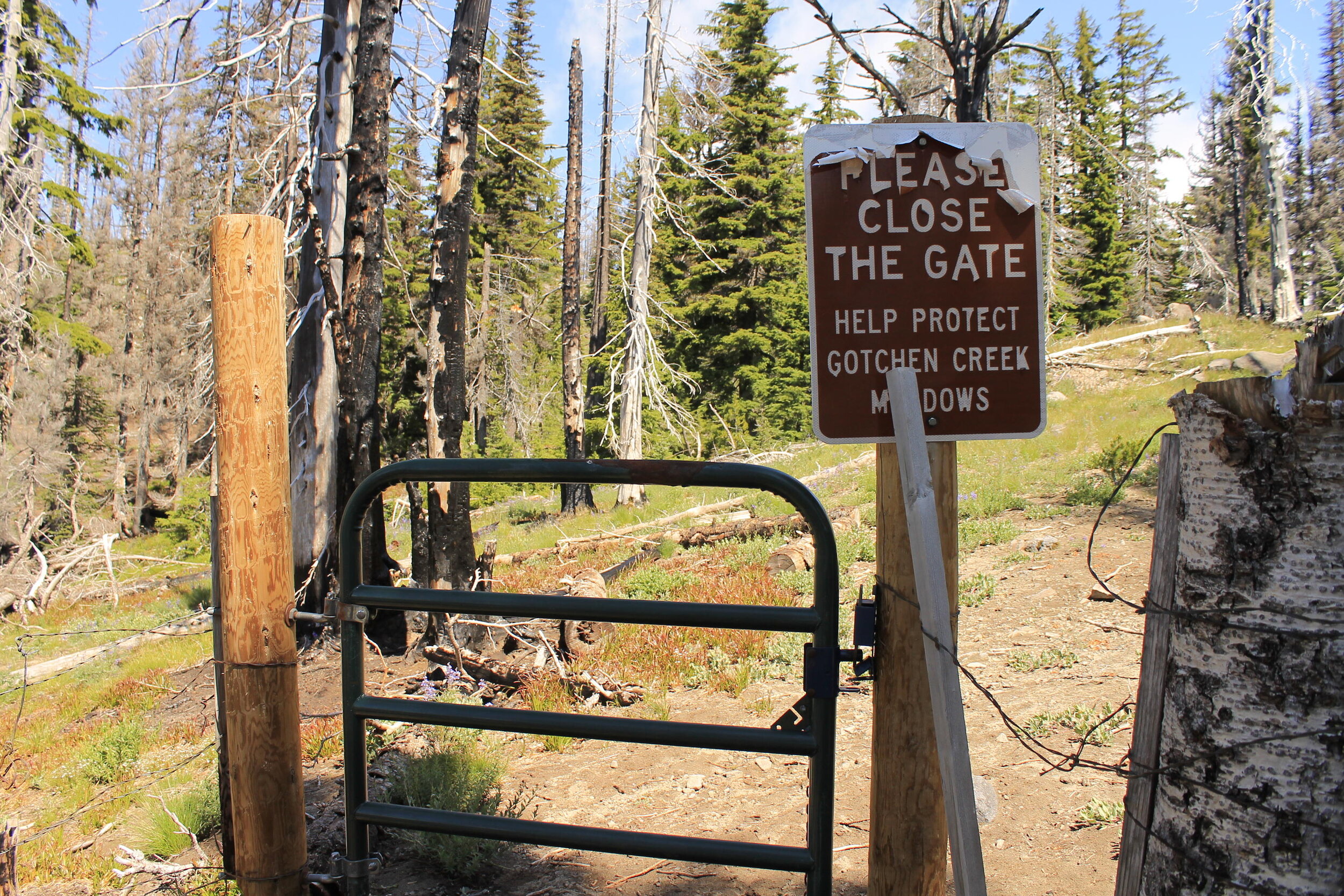
After 5.5 miles or so of trudging up the mountain, I came to a gate that is supposed to keep cattle out the fabled meadows along Gotchen Creek:
I learned that this gate was not doing much, and that cattle were regularly seen in the meadows after the 2015 fire. Bummer. Now, about Gotchen Creek, something perplexing: my trail up was the Snipes Mountain Trail, which follows Gotchen Creek, while my return route was the Gotchen Creek Trail…which goes nowhere near Gotchen Creek. Sometimes I think we need to just start renaming almost everything in the outdoors.
Anyway, before long I came to Gotchen Meadows, where I stopped for an early lunch of dolmas, crackers and fruit. Mount Adams was hiding in the clouds, but soon they began to part, revealing the glory of Washington’s second highest peak:
Gotchen Creek Meadows, July 2019.
I carefully picked my way across the meadow, doing my best to leave as little of a trace as possible. With such overwhelming beauty, it’s hard not to be careless. But you must! Here Gotchen Creek meanders through boggy meadows, backed by Mount Adams. The mountain is the gift that keeps on giving, and this was another present I was delighted to unwrap. I spent much of my time at the horseshoe bend pictured above, and below:
But I sought out other shapes too as I followed the sinewy creek as best I could:
I’m not sure how long I spent at the meadow, but it was probably an hour. Time was wasting away and I still had many miles to cover. I seriously contemplated just turning around from here, so I could spend more time in the meadows…but nah, I couldn’t do that. I had a loop to complete!
Once I could say goodbye to the meadow, I continued uphill for another half-mile to the junction with the Round the Mountain Trail. The flowers in this stretch were fantastic:
The Snipes Mountain Trail meets the Round the Mountain Trail at the very edge of the Yakima Reservation. A right turn here will lead you in very little time to Bird Creek Meadows, one of the most beautiful places anywhere. There’s a sign at the junction welcoming hikers:
I need to turn left here, towards the South Climb Trailhead, to continue my loop. This next stretch of trail I had hiked before, as I had followed the Round the Mountain Trail on my trek to Bird Creek Meadows. At first the views of Mount Adams are spectacular, as it rises above the head of the lava bed:
Before long, however, the trail leaves the views of Mount Adams behind to cross the lava bed and its rocky ramparts. Instead you get views south to Mount Hood, a nice trade. The trail across the lava bed is neat in its own way:
The Round the Mountain Trail across Aiken Lava Bed.
I met the South Climb Trail some 2 miles from the Snipes Mountain junction. It was at this junction that I saw my first hiker of the day, who was headed east towards Bird Creek Meadows. He would not be the last person I saw all day. Over the next mile or so down to the South Climb Trail, I saw a few dozen folks trudging uphill with dreams of climbing Mount Adams (this is the primary route up the mountain). Many of them asked me if I’d been to the summit already; when I responded that I’d come from the east, up a lonesome valley, many of those same would-be climbs looked at me with a mixture of confusion and admiration. This is true back in Portland when I talk about Mount Adams; for many in the mountaineering community in the Portland area, the only time they’ve been to Mount Adams was to climb the mountain.
Some twenty minutes later, I wandered into the crowded and entirely unappealing South Climb Trailhead. I took a short break here to look at my map and read my directions. I was looking for the Cold Springs Trail, which would eventually take me to the Gotchen Creek Trail. It turns out the Cold Springs Trail is located on the far eastern end of the South Climb Trailhead, tucked away and not all that noticeable.
It also turns out the Cold Springs Trail has not received much, if any maintenance in quite some time. The next few miles were some of the most uncomfortable hiking I’ve had in some time, as long stretches of the trail were so faint I began to wonder if it would just disappear altogether. Here’s a nicer stretch:
The Cold Springs Trail, looking back towards Mount Adams, July 2019.
This was a less-nice stretch:
The Cold Springs Trail, July 2019. Somebody send in the trail crew!
Now, I’m not usually one to complain about trail conditions. I seek out faint and wild trails to explore, and to escape the crowds found on more well-known trails. But when you’re in mile 10 of a 15 mile loop, you happen to be alone and haven’t seen another hiker on your trail, and you begin to wonder if you will need to bushwhack over dead trees for miles to find your car…well, it’s enough to give a person some anxiety. Thankfully the trail mostly stayed where it was supposed to, and even when there was no tread, I was able to follow old cut logs in the faintest stretches. Eventually things got better.
After what seemed like an interminable descent, I finally met the Gotchen Creek Trail something like 13 miles into my hike. Here I turned left on a much wider and obvious trail, and hiked a mile to a signed trailhead in what seemed like a pretty random location. To be fair, a lot of the trails on Mount Adams feel like they are located in random locations. So all that was left was to walk roads for about a mile back to my car.
Not even 200 yards from my car, I came across a roadblock:
I don’t see cows very often on hikes, and these guys were blocking the route back to my car. So I had to yell and dance and jump up and down for about 30 seconds until the five or six cows got the idea and plunged into the brush. Not even 2 minutes later, I was back at my car, beaten up and happy to be done with my hike and desperate for some salty snacks and caffeine. It was a fascinating and long day full of surprises! I am not sure if I will ever do this loop again, but if nothing else I will definitely return to Gotchen Creek Meadows. There’s never a dull moment when you’re exploring Mount Adams…and I am hoping to do more of it this summer.
Distance: 15.1 mile loop
Elevation Gain: 3,061 feet
Drivetime from Portland: 2 hours each way
Here’s a map of my loop. For more information on this hike, see this link (which was also linked above).


