Best Hikes

Spring has sprung! by Matt Reeder

It’s been a little bit since I’ve checked in here, because I’ve been out on the trail. What else would you expect? I’ll try to not make it so long the next time.

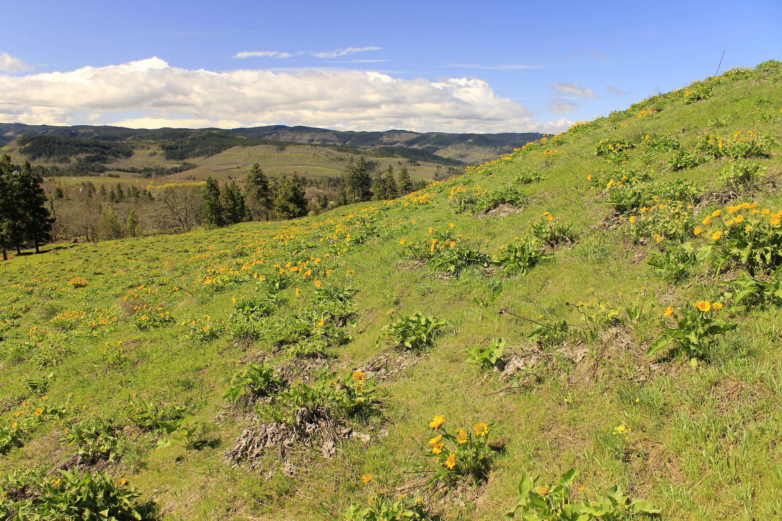
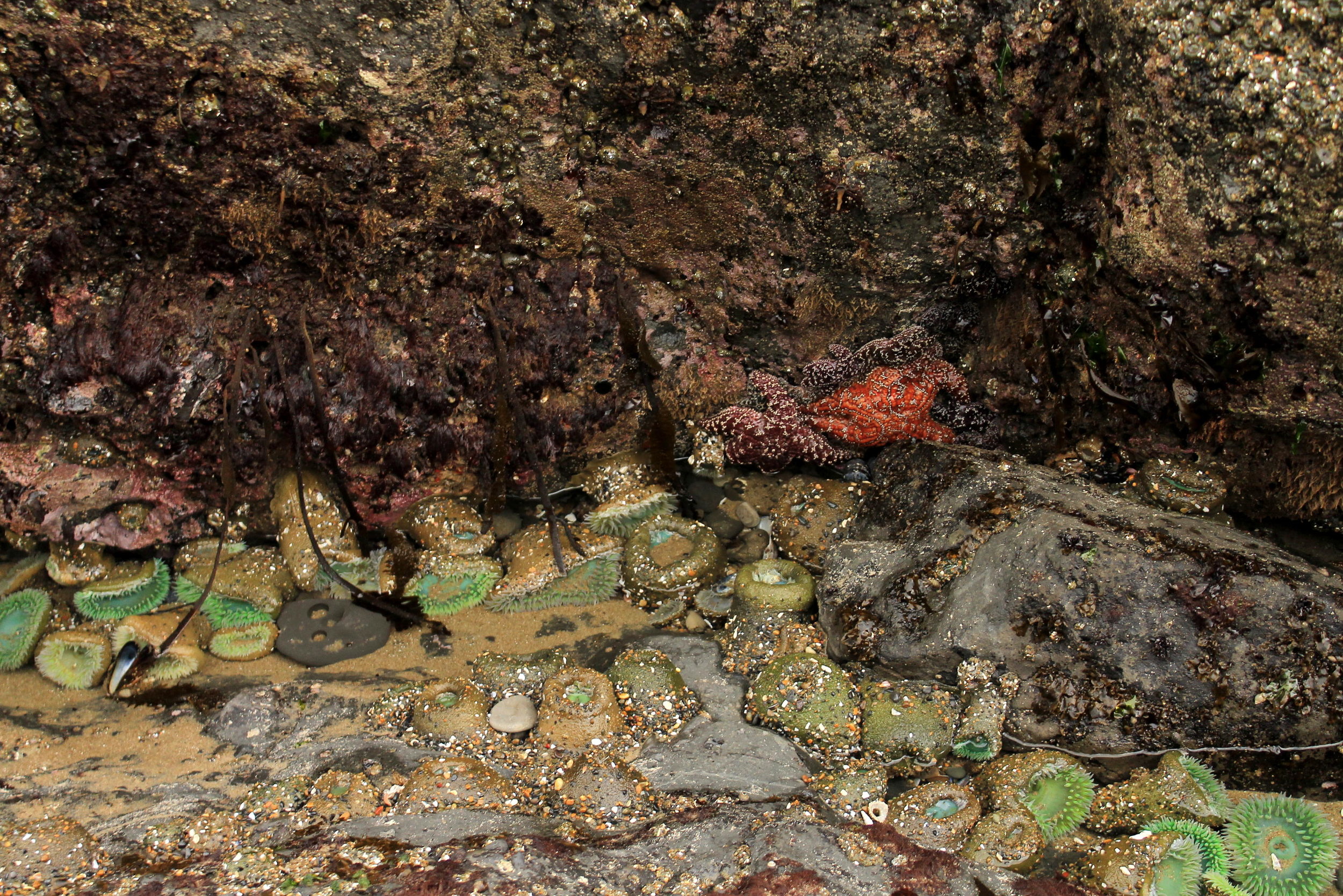
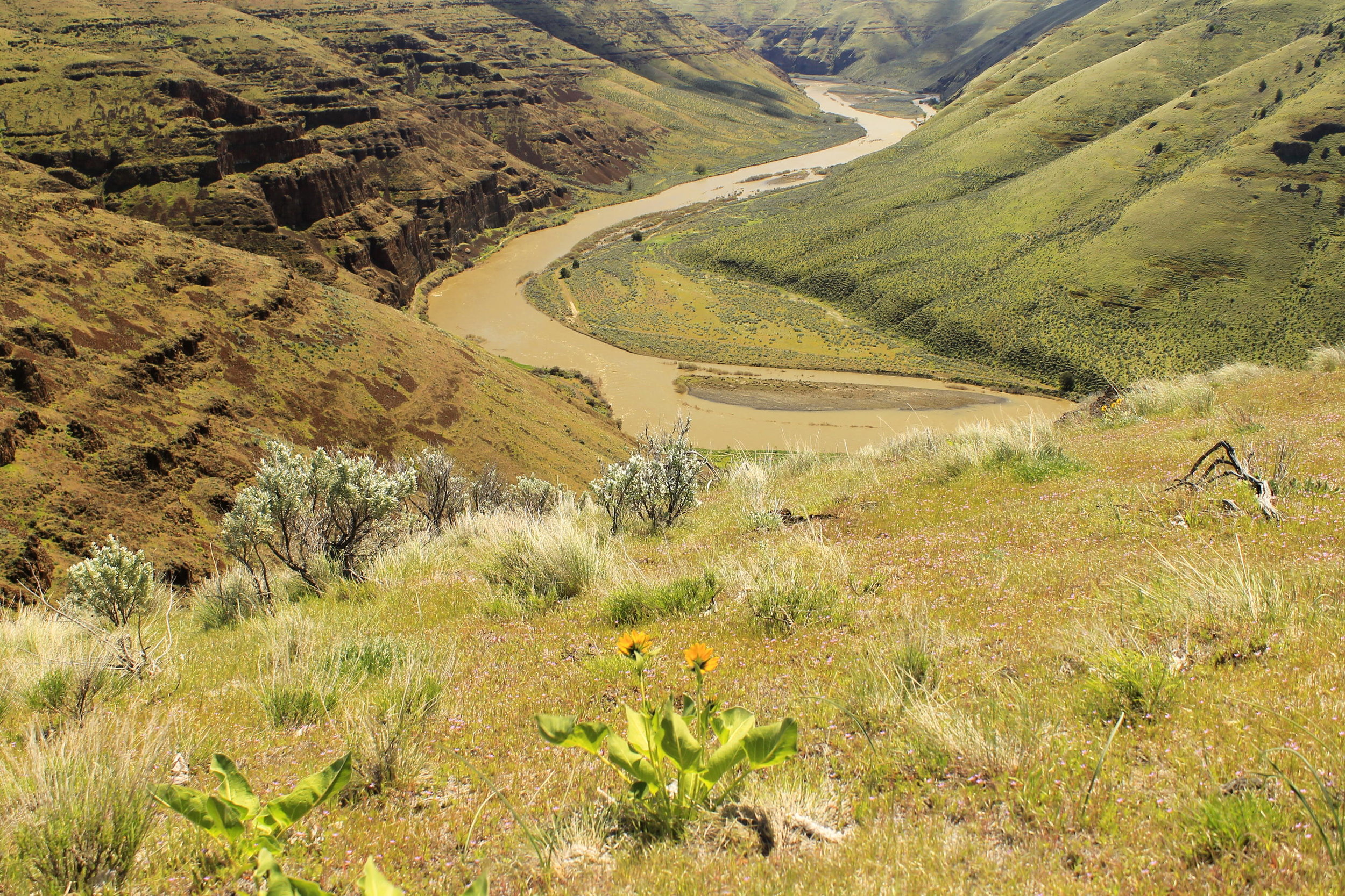
The spring so far has been marked by some fantastic new hikes as well as return to trips to some old favorites. Most of my hiking, as is usually the case, has been in the Columbia River Gorge. Without a new book to write I have been free to explore to my heart’s desire, and I’ve really tried to seek out the most interesting adventures each time I go out. I’ve been fortunate enough to get out a good amount, as I have many weekdays free for adventure. As luck would have it, I’ve hit the trail for 11 different adventures since the beginning of spring.

They are:

  • March 23 - Catherine Creek and Tracy Hill

  • March 24 - Klickitat River Trail

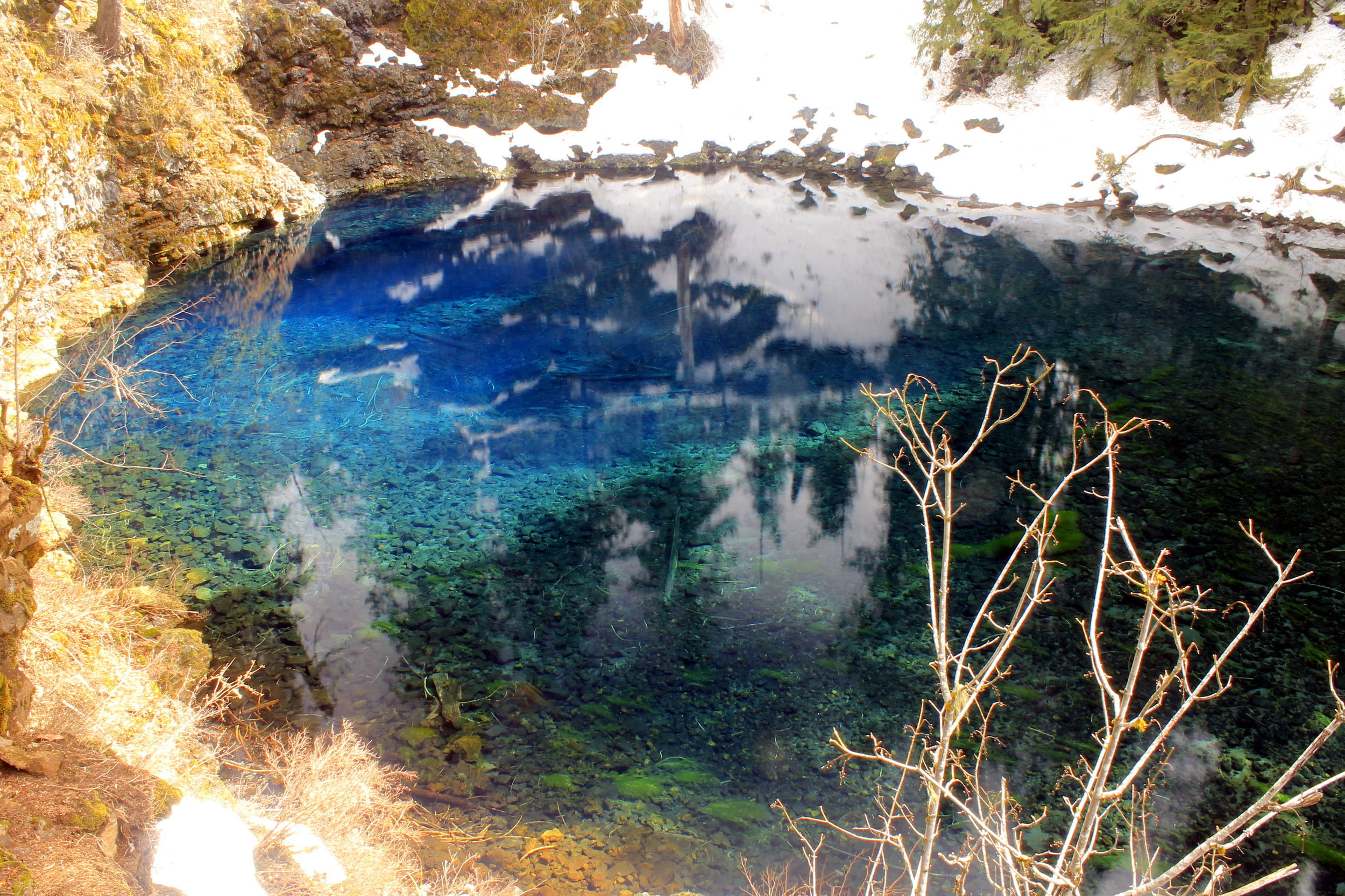
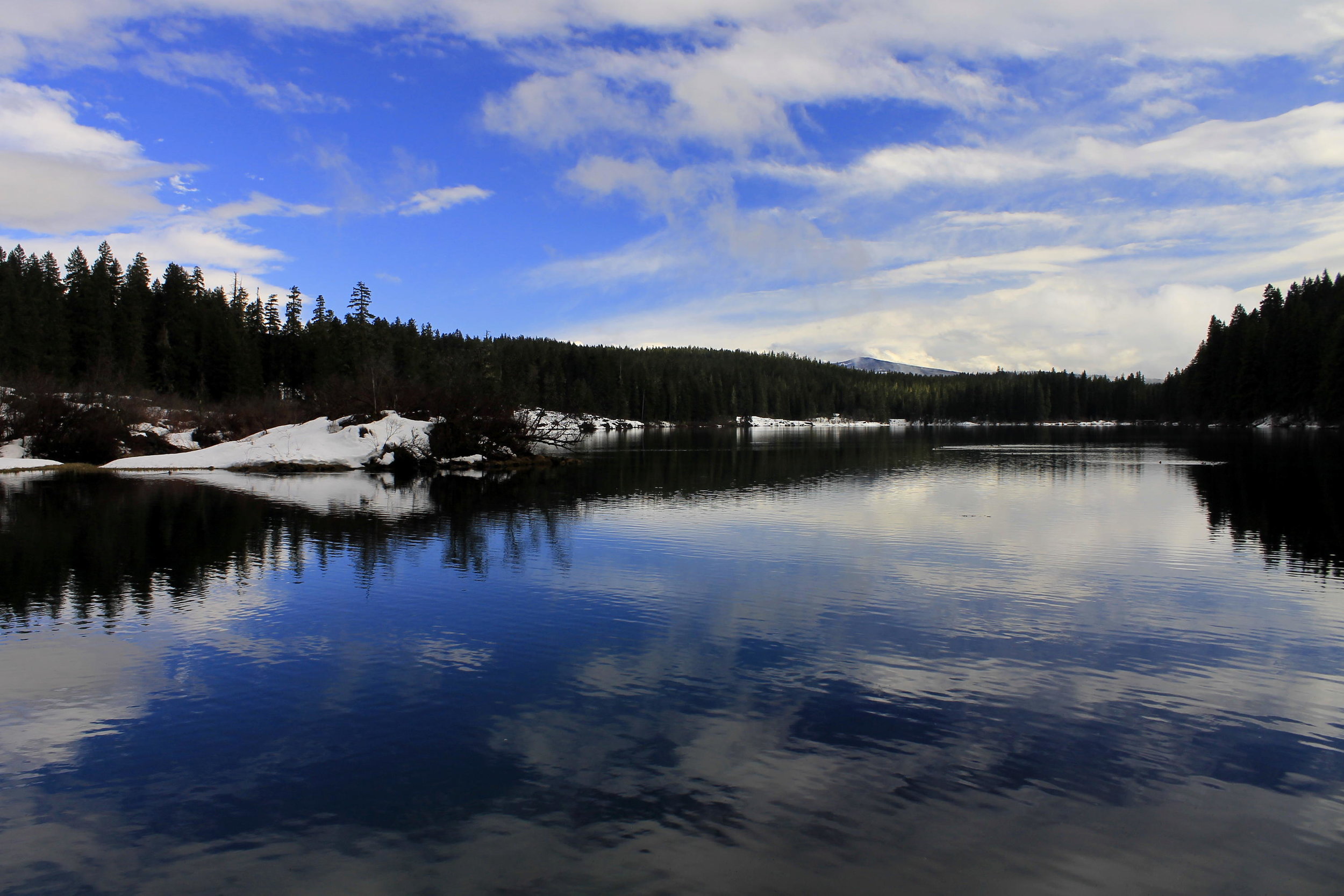
  • March 27-28 - Blue Pool and Clear Lake

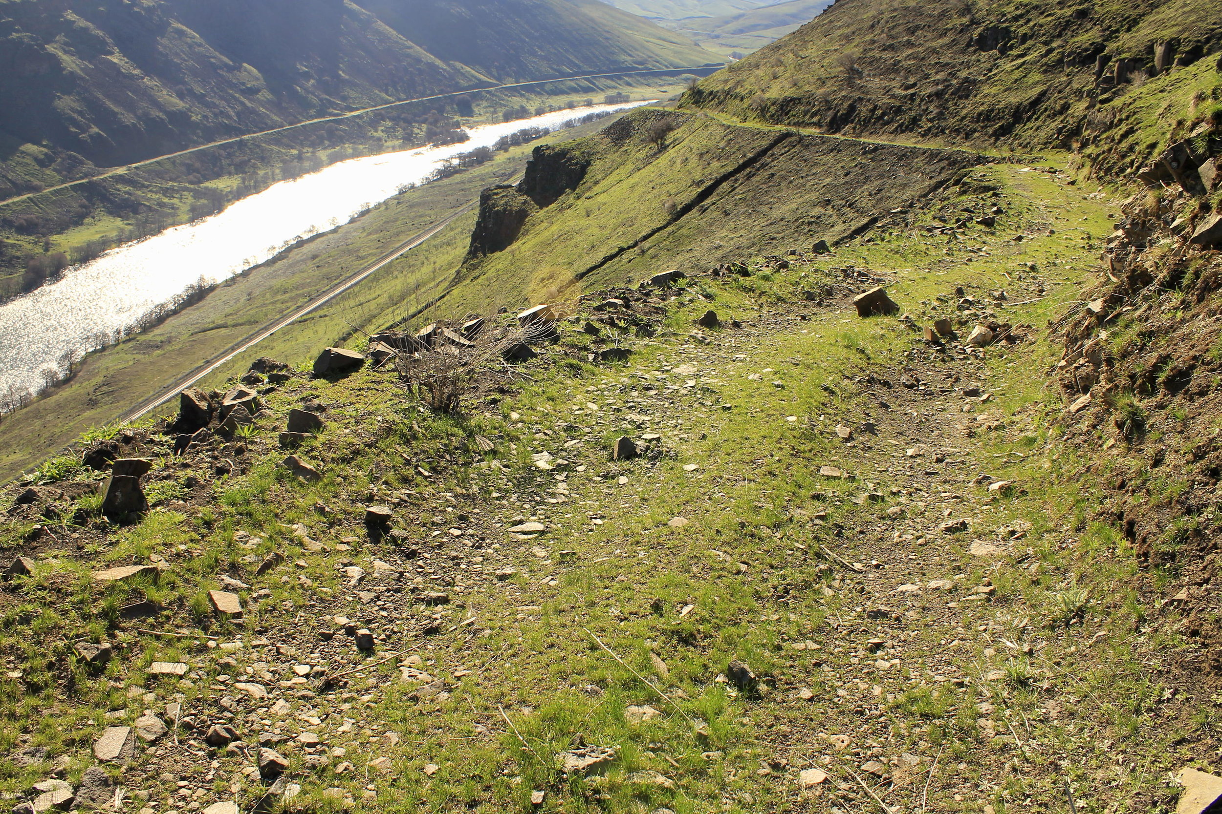
  • March 31 - Deschutes River via Free Bridge Road

  • April 2 - Mitchell Point and Spirit Falls

  • April 9 - Columbia Hills State Park Loop

  • April 12 - Memaloose Hills

  • April 18 - Mosier Plateau, Lost Lake and Punchbowl Falls

  • April 20 - Road’s End and Munson Creek Falls

  • April 25 - Angels Rest and Bridal Veil Falls

  • April 27 - Cottonwood Canyon State Park

May is looking to be a lot of fun and full of lots of new adventures. I can’t wait!

33. Fifteenmile Creek by Matt Reeder

Distance: 11.6 mile loop
Elevation Gain: 1,900 feet
Trailhead elevation: 4,627 feet
Trail high point: 4,627 feet
Season: June - October
Best: June - July
Map: Flag Point (Green Trails #463)
Pass: none needed
Drivetime from Portland: 110 minutes

Directions:
* From Portland drive US 26 east to a junction with OR 35 on the side of Mt. Hood
* Turn onto OR 35 and continue for 13.5 miles to a junction with FR 44 (Dufur Mill Rd.) between mileposts 70 and 71.
* Turn right and continue on FR 44 for 5.2 miles.
* At a junction, turn right and continue on FR 44 for 3.1 miles.
* Turn right on unsigned but paved FR 4420 and continue for 2.2 miles to a junction.
* Drive straight, now on paved FR 2730 for 2.1 miles to rustic but charming Fifteenmile Campground. The trail departs from a sign on the left side of the campground, near the outhouse.


Hike: Traveling east out of the Cascades, the transition from wet, western forest to dry, high desert is rapid. Hike this outstanding loop on both sides of spectacular Fifteenmile Creek and you can experience an almost full transition and back in just 10 miles of hiking. There is a catch: you have to hike downhill first. While the thought of descending a canyon for five miles and then climbing back out might not be your cup of coffee, consider this: the way back is never steep, and the scenery is better on the second half of the loop. Because you have to climb out of the canyon later in the day, avoid this hike on hot days – it won’t be as nice when you’re climbing out in 95º heat.


Head out from the delightful Fifteenmile Campground into the pine forests above rushing Fifteenmile Creek, which Congress designated a Wild and Scenic River in 2009. In early summer look for a bouquet of flowers along the charming, stair-stepping creek. After half a mile reach a junction with the Cedar Creek Trail and turn right to begin the loop, crossing the creek and ascending slightly up to the ridge. From here it’s all downhill until your reunion with the Fifteenmile Trail. After 1.5 miles of descent you will reach Onion Flat, a park-like meadow dominated by old-growth Ponderosa pines. From here on down you can feel the transition into Central Oregon high desert as the terrain changes with each step. Look over the ridgeline across the canyon for views of Mount Adams and at one spot, the tip of Mount Hood. Also be on the lookout for peach-colored large leaf Collomia, very rare for this part of the Pacific Northwest, as well as bitterroot, which grows on the dry slopes on this trail in June. Cross a decommissioned road at 3.5 miles and begin a steep descent down into the canyon, finally crossing Fifteenmile Creek and reaching a reunion with the Fifteenmile trail exactly 5 miles from the campground. A beautiful cedar grove here along the glassy, crystal-clear creek immediately before the junction provides an excellent resting spot. Though unmarked, the Underhill Trail (Hike 32) also reaches this junction from the north; look for this faint trail heading uphill from the sign at the junction of the Cedar Creek and Fifteenmile Trails. After lunch it is well worth it to continue downstream (to the right) on the Fifteenmile Trail another 0.3 mile to Pinegate Meadow, surrounded by a cluster of tall, arching Ponderosa pines. Return then to the junction with the Cedar Creek Trail and continue straight.


Now on the Fifteenmile Trail, the climb out of the canyon begins with a relatively level stretch through flower gardens along Fifteenmile Creek. In summer look for large whitish-pink Cascade lilies, a showy flower that grows profusely down in this canyon. Above you ancient ponderosas reign supreme. Before you begin your ascent in earnest, pass several large black Cottonwood trees in a cedar grove along Fifteenmile Creek. Shortly after, begin your ascent. You may have competition for the trail from a few descending mountain bikers but they are few and far between. The climb uphill is mostly gradual with a few switchbacks and a relatively easy grade. 2.5 miles from the junction at the bottom of the canyon, reach an open meadow where you can look across the canyon while large Ponderosa pines beg to be photographed. Keen eyes may spot the Cedar Creek Trail on the ridge across the canyon. From this point on the climbing becomes even more gradual while the many wildflowers make you grab for your camera; look for scarlet gilia (also known as skyrocket), paintbrush, yellow balsamroot, stonecrop and many more. Pass by a road to your right (keep on the trail) and re-enter the forest. From here you’ll eventually turn left on the remains of an old road and continue uphill, always climbing gradually. At about 3.8 miles from the trail junction (or about 1.5 miles downhill from the campground) you reach a scenic rock outcrop known as Pat’s Point. There is an excellent view across Fifteenmile Creek’s canyon. Listen for the roar of the creek and what I assume is a waterfall in the canyon below. If you’ve still got some energy, the many and varied rock formations here invite exploration. Once past Pat’s Point, the Fifteenmile trail then returns to the forest and gradually climbs another mile to a reunion with the Cedar Creek Trail on the left. Continue straight another 0.5 mile to the campground and your vehicle.