Hike 41: Rooster Rock and the Menagerie Wilderness
Distance: 6.8 miles out and back
Elevation Gain: 2,400 feet
Trailhead elevation: 1,242 feet
Trail high point: 3,568 feet
Season: April - November
Best: April - May
Permit: NW Forest Pass
On the traditional lands of: the Molalla people
Directions:
Drive east of the Quartzville Road junction at the eastern edge of Sweet Home on US 20 for 15.6 miles to the poorly-marked Trout Creek Trailhead. The trailhead is located on your left not far past milepost 49.
The trailhead is just after Trout Creek Campground on the right side of the highway.
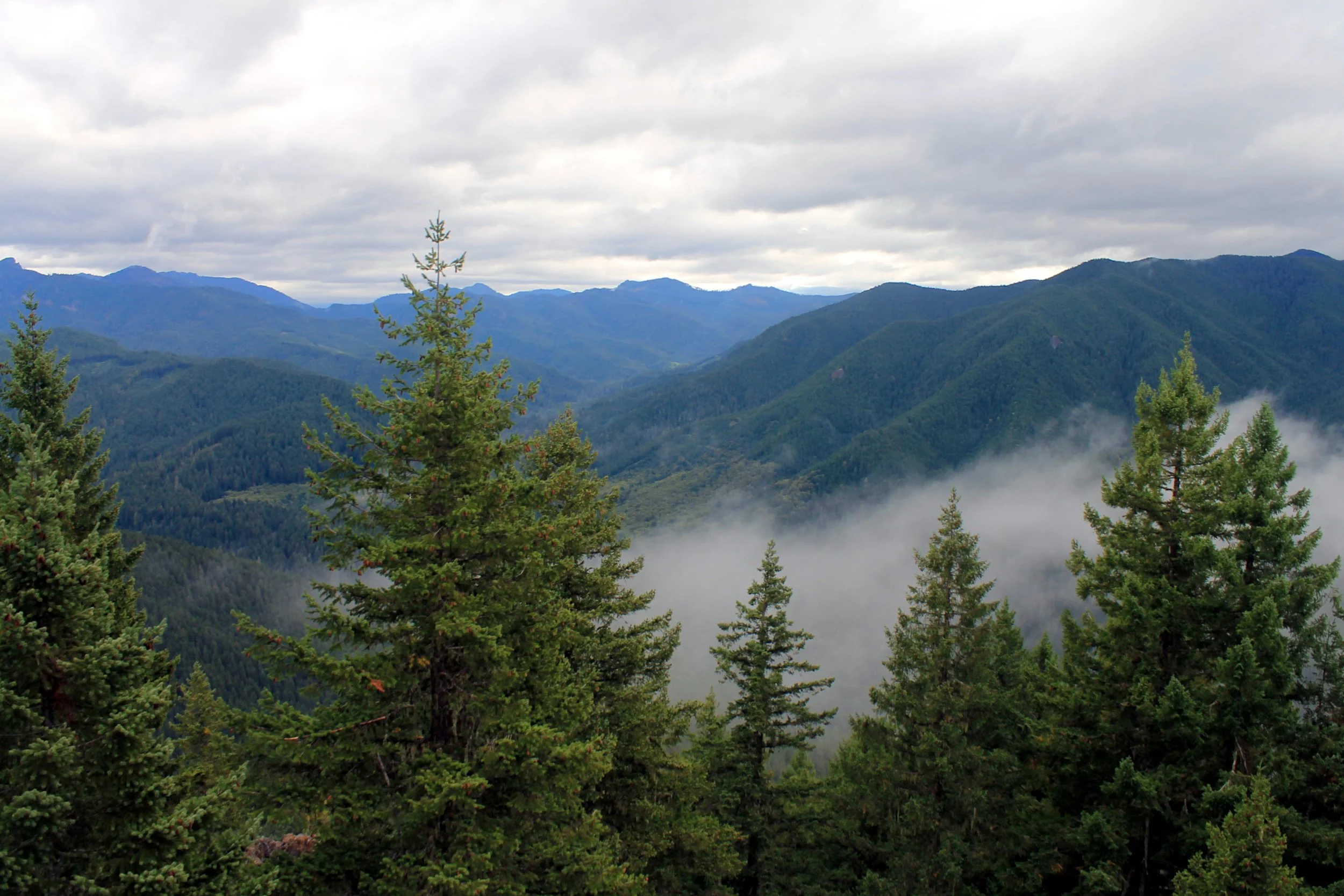
A misty day on the Rooster Rock Trail.
Hike: The hike up to Rooster Rock in the Menagerie Wilderness is short on highlights. It’s a shame that the builders of this trail did not see fit to extend the trail to anywhere more interesting; for that, you have to take matters into your own hands. This may be the least interesting hike in the Old Cascades; and in spite of that, it is a useful trail for its easy access, and is good for a spring conditioner. Just make sure to continue further into the Menagerie for the good stuff.
First of all, about the Menagerie: The Menagerie Wilderness is a collection of fascinating rock pinnacles with colorful, animal-themed names, among them Turkey Monster, Rabbit Ears, and of course, Rooster Rock. The trick is to find the way to see all of them, and that isn’t easy. Get started on the Trout Creek Trail. The trail charges uphill at an almost constant grade - never too steep, but rarely level. The forest has clearly been logged before, and has a fairly uniform quality. Keep an eye out for poison oak on both sides of the trail all the way to the summit; though a rarity elsewhere in this book, it’s everywhere here. A few madrone trees spice things up as you ascend - look for the peeling bark of this beautiful tree, which is far more common further south.
At 2.9 miles, reach a junction with the shorter, steeper Rooster Rock Trail. Continue straight as the trail steepens considerably, making its final ascent towards Rooster Rock. Reach the rock just before the end of the trail. The trail passes the rock, offering chances for climbers equipped to handle the route to the top of Rooster Rock. Unless you are climbing, switchback to the left and reach the former lookout site at a ridge end at 3.4 miles. The view is underwhelming, to put it lightly: the only thing you can see is the ridge on the far side of Keith Creek’s canyon.
To see and truly understand the Menagerie, you need to follow a rough climbers trail out to Panorama Point. Walk back 100 steps from the summit to a junction with the climbers trail. The climber’s trail leads deeper into the wilderness, into the domain of the adventure climber. What you find depends on what you are looking for - and I’ll leave the adventure up to you. The rough trail that follows the ridge is closed from January 15 to July 31 to protect nesting raptors.
Walton Ranch: Before you leave the area, be sure to check out the short trail to Walton Ranch. It departs from the Trout Creek Trailhead and proceeds to cross Trout Creek immediately on a nice bridge. You will climb a bit to an overlook directly above the highway of a prairie across the river. Each winter, a herd of elk winters at this prairie and if you visit from November to April, you may just see them. Even when the elk aren’t there, this is a worthy detour just for the crossing of Trout Creek alone - after all, the Trout Creek Trail never once approaches Trout Creek.
Rooster Rock via the Rooster Rock Trailhead: You can also reach the summit of Rooster Rock via the shorter, more direct Rooster Rock Trail. This trail gains 1,300 feet in about 1.5 miles, so it’s far steeper than the Trout Creek Trail. The advantage to this approach is that it is more direct, and some will appreciate its brevity. To find the Rooster Rock Trailhead, continue east beyond the Trout Creek Trailhead on US 20 another 2.7 miles to the signed trailhead on the left. There is a small trailhead loop and room for plenty of cars.
