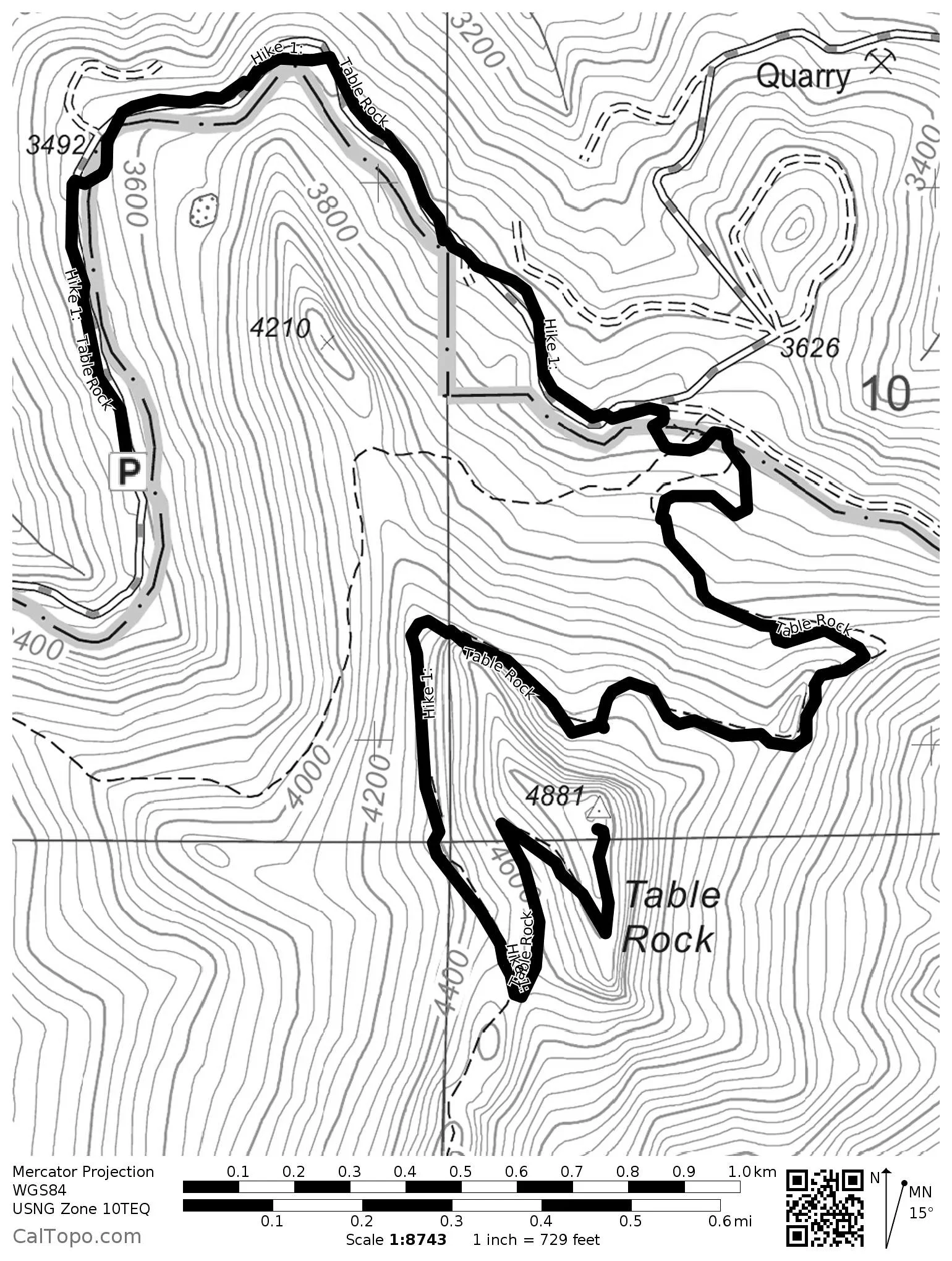
Hike 1. Table Rock
Distance: 7.4 miles out and back
Elevation Gain: 1,500 feet
Trailhead elevation: 3,382 feet
Trail high point: 4,890 feet
Season: June – October
Best: June – July
Map: Opal Creek Wilderness (Imus)
Directions:
From the junction of OR 213 and OR 211 on the western edge of Molalla, drive 2.1 miles through town to a junction with South Mathias Road. Veer right on South Mathias Road here.
Drive this road for 1 mile south to a junction with S Feyrer Park Road, and veer left.
Continue on this road for 1.6 miles until you cross the Molalla River and meet South Dickey Prairie Road.
Turn right on Dickey Prairie Road and drive 5.4 miles to a sign on your right marking the Molalla River Recreation area.
Turn right and cross the Molalla River. Here the road curves to the left immediately and becomes the Molalla River Road.
Continue on this road for 11 miles to a junction with the Horse Creek Road on your right.
Continue straight (ignoring the road veering downhill to the right) and drive another 1.7 miles to a junction with the road to Table Rock.
Turn left onto gravel Table Rock Road and drive 2.5 miles to a junction with a road up towards Table Rock.
Turn right and drive 4 miles to the end of the road.
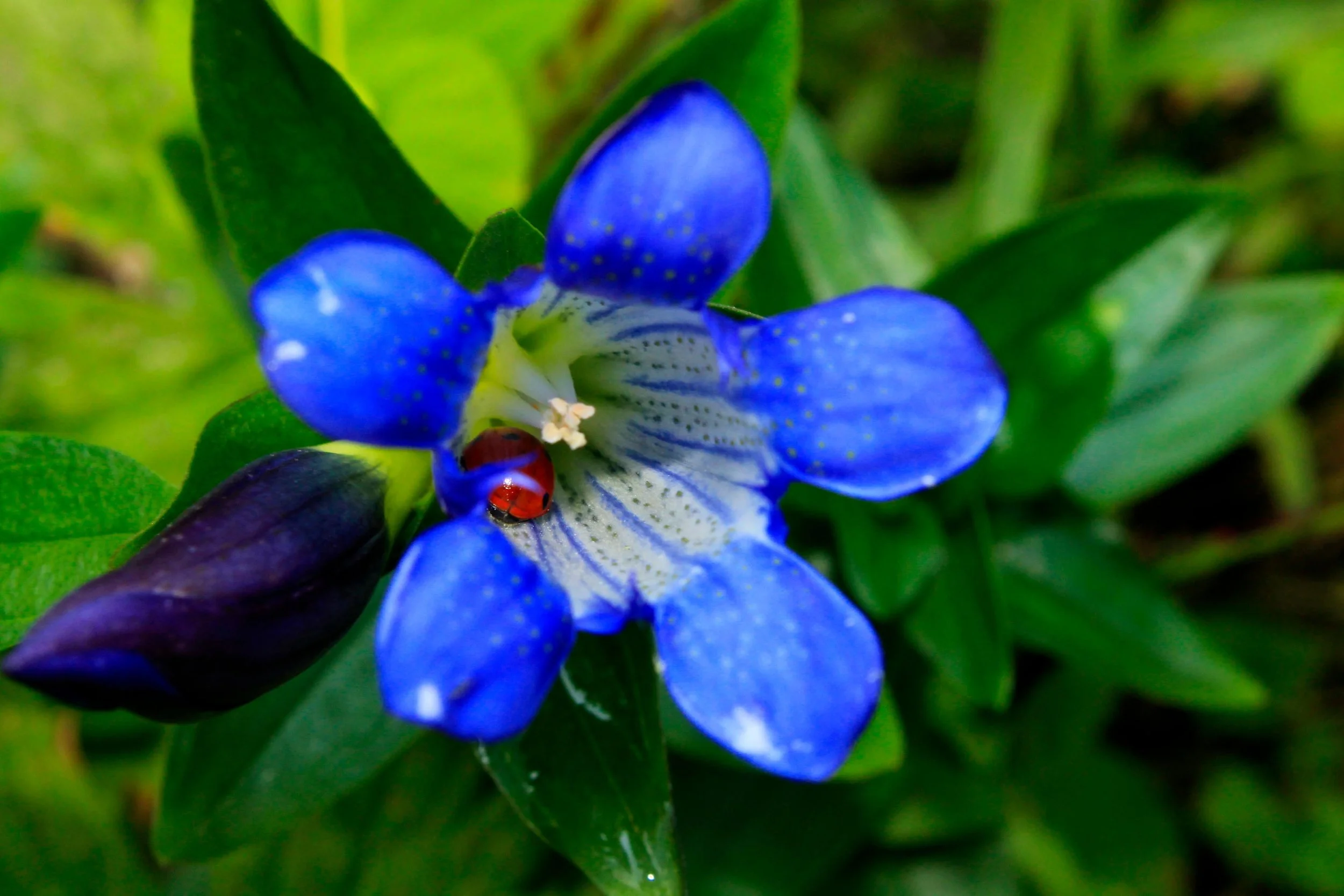
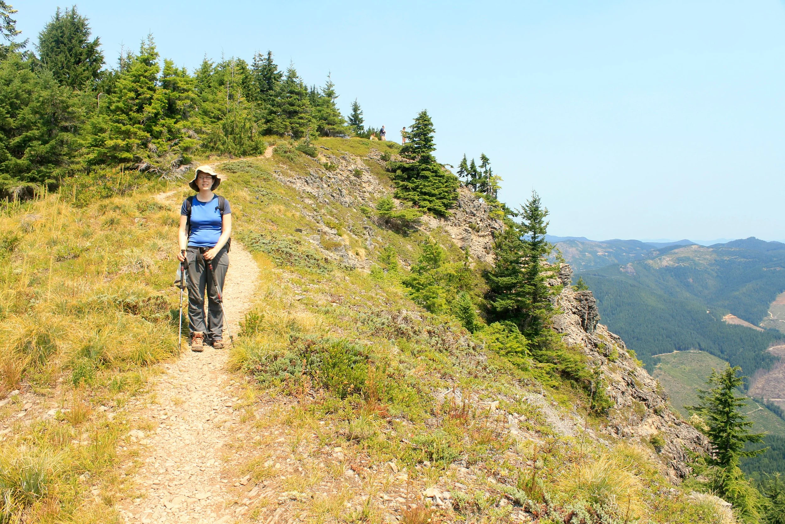
Hike: By far the most popular hike in the small Table Rock Wilderness, the trail to the summit of the wilderness area’s eponymous peak is surprisingly well-graded and fairly easy. The views from the summit are magnificent and wide-ranging, and there are even a couple of campsites at the summit if you feel like camping overnight (bring water, though). If you time it correctly, you may even come home with a bag full of delicious huckleberries – a delightful treat indeed!
Begin by following the old road, now a wide trail east to where it washed out in 1996. At 0.3 mile, the trail cuts uphill to the right into a lovely forest of lichen-draped hemlocks to avoid the washout that closed the road. After a few tenths of a mile, the trail rejoins the road, which you follow for almost a mile to the old trailhead. Turn right here.
The trail passes a decaying signboard and begins a moderate ascent up the surprisingly gentle north face of Table Rock. After one mile of uphill, the trail switchbacks under the massive, fortress-like rock face and talus slopes below the summit. Here you will likely hear the meep! of the pika, a small, round-eared mammal that lives in rockslides. Wear boots on this hike – this stretch is quite rocky as the trail follows cairns through this maze of rockfall. The basalt formations on the huge walls of the mountain are among the most impressive in this part of the Cascades. Once past the rockslide, the trail climbs to meet an unsigned junction with the trail over to Rooster Rock (Hike 2). Turn left here and climb 0.6 mile, skirting along the huge basalt cliffs but never close enough for discomfort, to the wide summit. Here the view is incredible – you can see snowpeaks from Mount Rainier to the Three Sisters, as well as most of the Willamette Valley. What is less impressive, so to speak, is the tremendous number of clearcuts visible below – a testament to the small size of the Table Rock Wilderness as well as the huge amount of logging on BLM land. There are a few campsites if you feel like spending the night but make sure to bring your own water – there is none anywhere close to the summit.
Return the way you came, or head over to Rooster Rock to extend your hike. If you choose this second option, however, be warned that the stretch of trail over to Rooster Rock is far rougher and steeper as it rides the rollercoaster of Table Rock’s broad ridge 2 miles to Rooster and Chicken Rocks (see Hike 2 for more information).