MUNSON CREEK FALLS
Distance: 0.5 miles
Elevation Gain: 50 feet
Season: all year
Best: all year
Pass: None needed.
On the traditional lands of: the Nestucca people
Directions:
From Portland, drive US 26 west for 20 miles to a junction with OR HWY 6.
Following signs for Tillamook merge onto OR 6 and drive 51 miles to Tillamook.
At a junction with US 101 in downtown Tillamook, turn left and drive south on US 101 for 7 miles to a junction signed for Munson Creek Falls.
Turn left and drive up a gravel road for 1.5 miles to a parking lot at the end of the road.
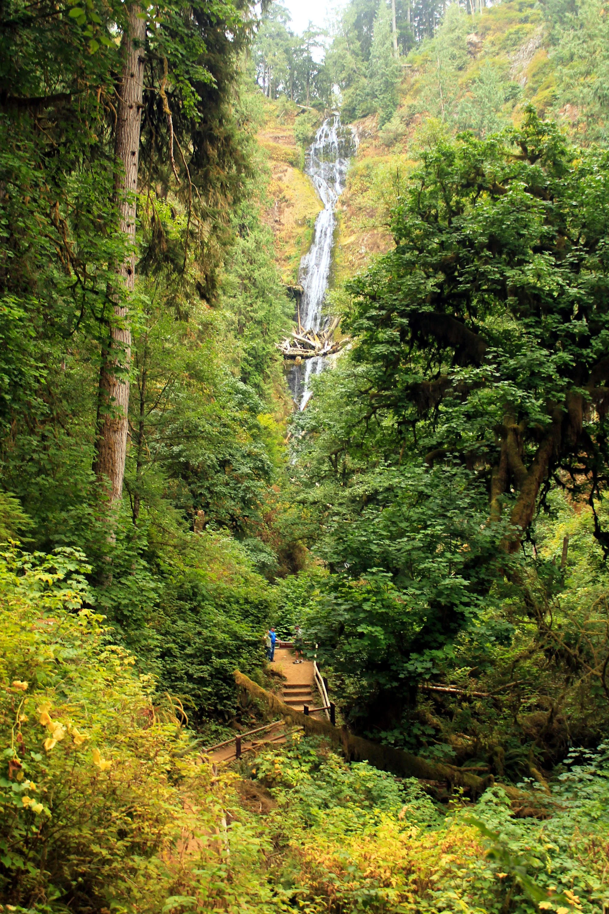
Munson Creek Falls at low flow in September
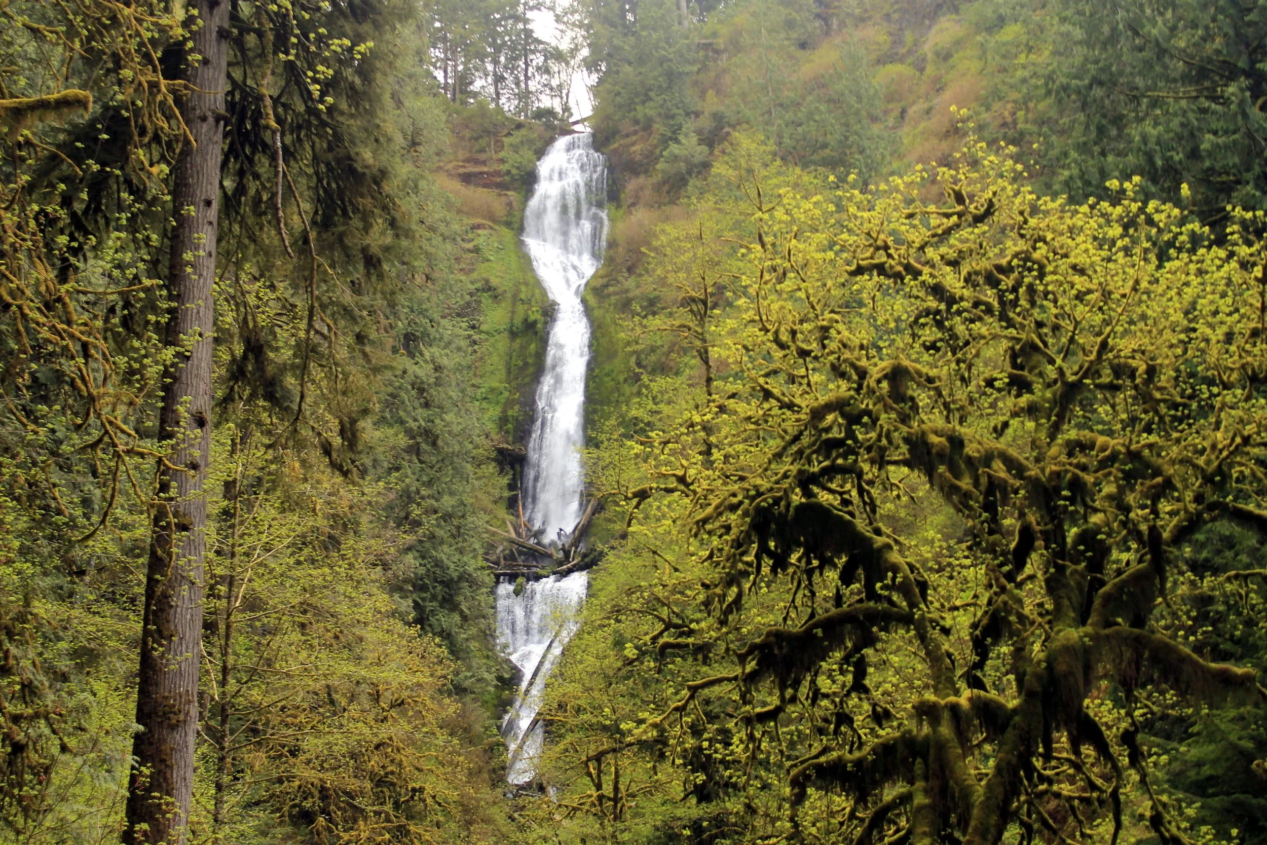
Hike: Shockingly few people have heard of Munson Creek Falls, the tallest waterfall in the Oregon Coast Range. Just 9 miles from Tillamook, the falls tumbles 319 feet into an old-growth forest. Make this a stop on the way to other destinations in the Tillamook area!
The trail departs from a small parking lot at the end of the gravel road. Follow lovely Munson Creek for a quarter mile into the canyon holding the falls. Quickly you gain views of the uppermost tier of the falls. Climb a set of stairs to arrive at the “viewing area”, a muddy flat with a view of the upper half of the falls. There is a trail that continues upstream that is unofficial and is not recommended; perhaps fortuitously, this trail is blocked by a very large fallen Douglas fir.
I advise coming in winter when the deciduous trees in the canyon are bare as the falls is barely visible during the summer. Perhaps one day Tillamook County will build a trail with a better view of the falls. Until then, enjoy the view you have, one of the Oregon Coast Range’s tallest falls. Return the way you came.
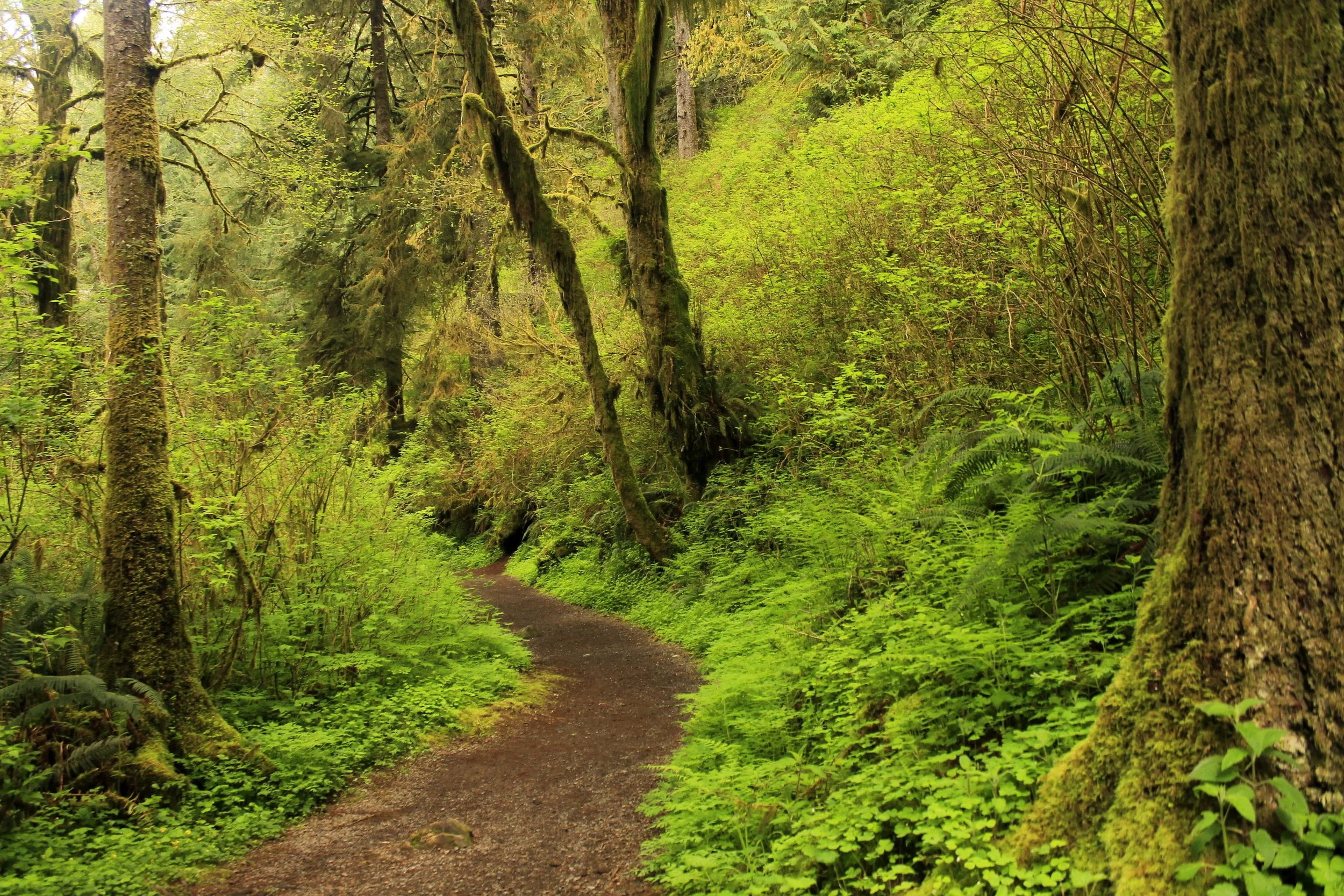
Lush forest on the path to Munson Creek Falls.
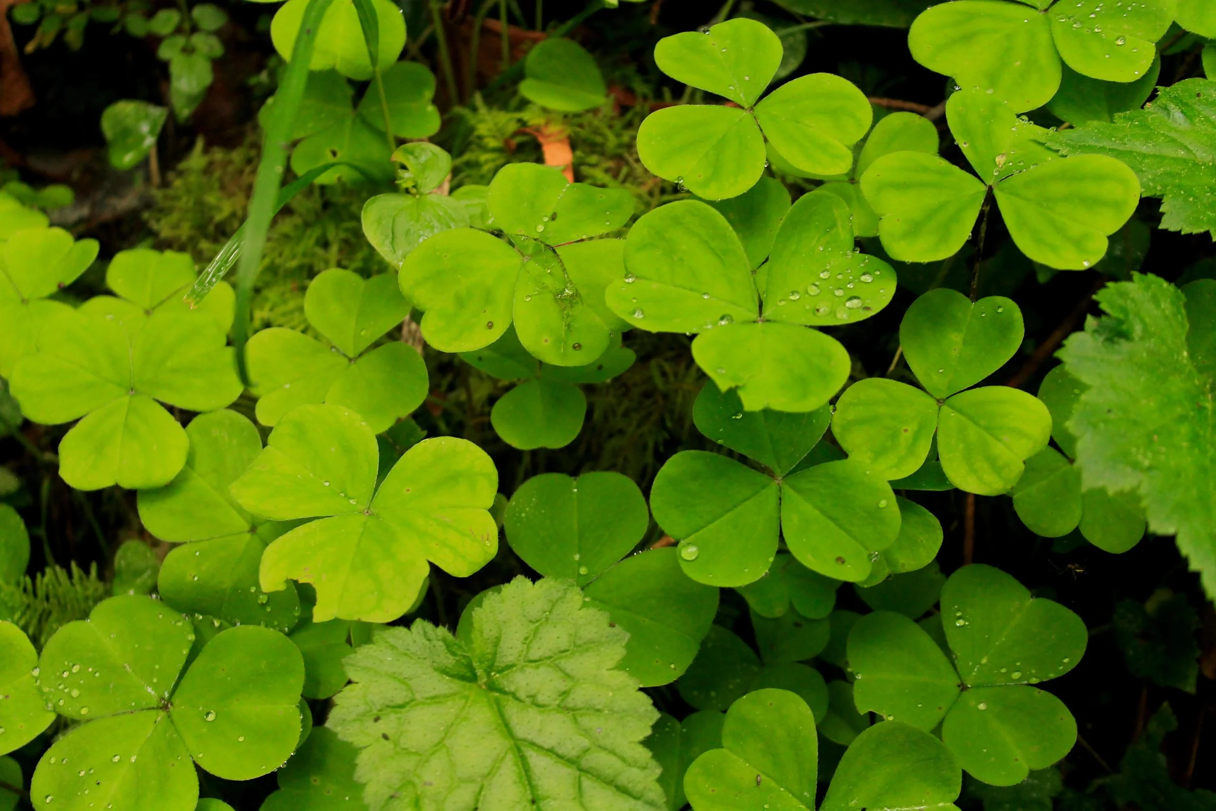
Oxalis near Munson Creek Falls.